 |
Adkins-Horton Genealogy
|
|
|
|
Notes:
The Ruins of Burscough Priory lie south of the southeast end of Burscough. However, due to the railroad, it appears on the map that the best access by car would be from Omskirk (which is southeast of Burscough). From Omskirk, take Derby St. which becomes Greetby Hill to the east, which then becomes Dark Ln. Continue east then northeast on Dark Ln. At the intersection with Blythe Ln., Dark Ln. becomes Abbey Ln. and leads through Abbey Farm & Abbey Farm Holiday Park. At the north end of Abbey Farm Holiday Park, the ruins are to the east of the main road between the road and Abbey Brook, surrounded by large trees.
(It may be possible to reach the ruins from Burscough using Mill Dam Ln. going south from Liverpool Rd.)
Burscough Priory Ruins:
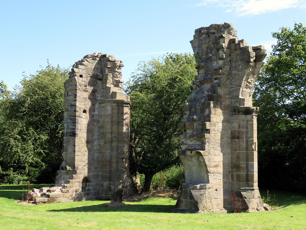
By PC78 - Own work, CC BY-SA 4.0
3D Aerial view of the ruins (just below the red map pin, notice the long shadows of the buildings). In this particular view only, "North" is at the bottom of the map (looking to the south):
-ruins-viewed-from-north-looking-south.png)
Aerial view showing the location of the ruins with respect to Burscough (railroad marked in red):
-ruins-location-related-to-Burscough.png)
Aerial view showing the location of the ruins with respect to Omskirk and the route from Omskirk to Burscough Priory Ruins:
-view-of-route-from-Omskirk.png)
Latitude: 53.583, Longitude: -2.8563
All Burials
| # |
Last Name, Given Name(s) |
Buried |
Person ID |
| 1. |
 Goushill, Joan Goushill, Joan |
d. 1460 |
Burscough Priory, Burscough, Ormskirk, Lancashire, England  | I7695 |
|
|
|
|
